Bringing the Map to Life: Families Enrich Classical Conversations Cycle 3 Geography Through Hands-On Learning
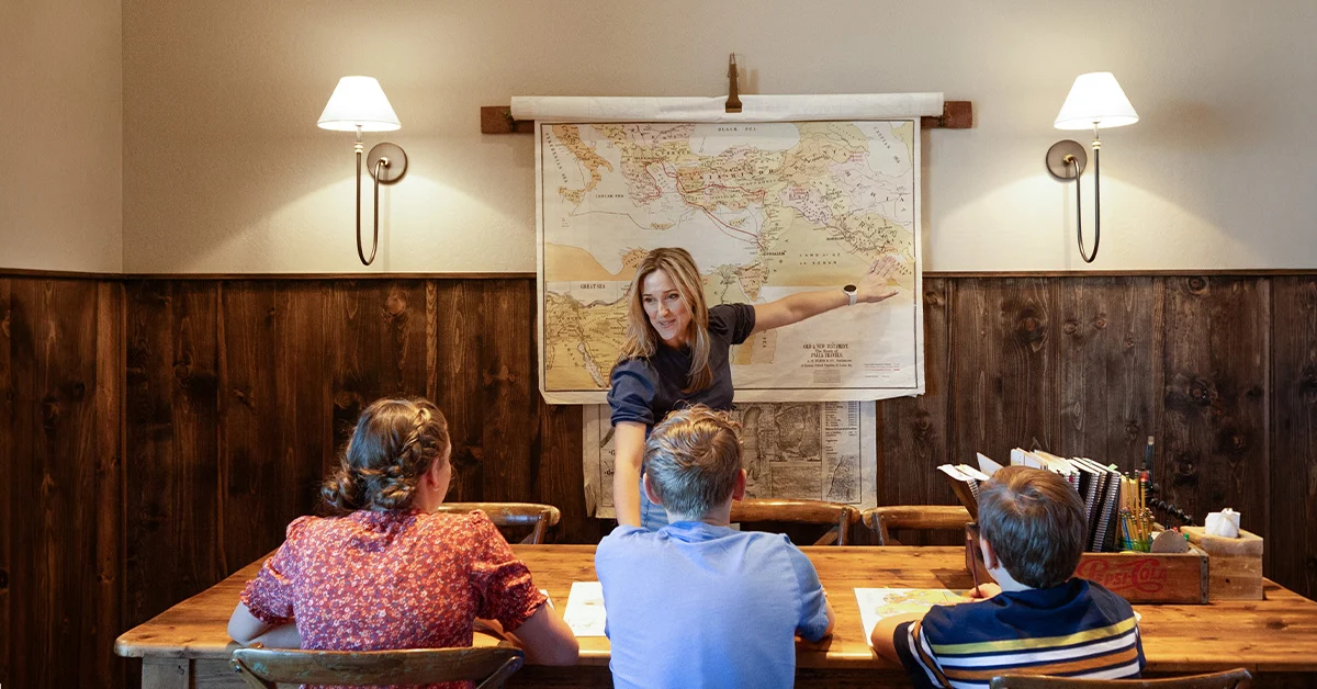
As homeschooling families dive into the fall semester of Classical Conversations, students participating in the Foundations program are embarking on a comprehensive journey across the United States. Cycle 3 geography provides learners with a real, working map of the country, transforming the study of topography and political boundaries into a mental landscape built week by week. While memory work remains the core of the curriculum—with children singing through fifty states and capitals in the autumn and naming mountain ranges, rivers, and canals in the spring—educators and parents are increasingly pairing these recitations with immersive, multi-sensory activities designed to help the geography take deep root.
Drawing from established resources such as The Habits of a Classical Education and Scribblers at Home, along with community initiatives and family field trips, parents are finding creative ways to extend classroom learning. These supplemental experiences are not intended to replace memory work, but rather to give students an opportunity to see, build, taste, and walk through the concepts planted by weekly memory sentences. By bridging traditional memorization with interactive exploration, families are discovering how structured geography seamlessly integrates into everyday life.
Fall: Bringing States and Capitals to Life
During the fall semester, the Foundations curriculum focuses on memorizing all fifty states and their corresponding capitals as part of the New Grammar geography portion. At home, standard practice typically involves parents pointing to blackline maps and prompting students to identify specific locations, such as locating Columbia, South Carolina, or naming the position of Topeka, Kansas. While this method is straightforward and effective, families are expanding these exercises with dynamic projects that reinforce the memory work.
One popular approach involves creating a capital road trip journal, where students compile a binder or passport booklet featuring a page for each state. Children record essential data, including the capital, state bird, nickname, year of admission to the Union, and a memorable fact, alongside a state outline to color or trace. This multi-generational project accommodates learners of various ages, allowing younger siblings to focus on coloring while older students conduct research, resulting in a personalized keepsake built over the course of the semester.
Daily routines also offer natural opportunities for reinforcement. Many families utilize state abbreviation scavenger hunts during routine errands, tracking license plates on vehicles in parking lots and highways using printable checklists. This low-cost activity transforms ordinary trips to the grocery store into spontaneous geography reviews between community days.
Culinary exploration has similarly found a home in the homeschool routine. By preparing regional dishes tied to specific capitals—such as gumbo for Baton Rouge or clam chowder for Boston—families connect the geography memory work directly to cultural traditions. Coordinated meal plans allow dinner to serve as an extension of the school day, tying historical context and fun facts to each week’s memory focus.
Music offers another avenue for spatial and cultural connection. Because Foundations families frequently sing the states and capitals, educators suggest pairing regional geography with America’s diverse musical traditions. From Appalachian bluegrass and Deep South blues to New England choral hymnody, Midwest ragtime, and Southwest Tejano influences, tracing the country’s soundtrack helps students develop an ear for regional identities. Special attention is often given to Hawaii and Alaska, whose unique musical heritages—such as the compositions of Queen Liliuokalani and indigenous Alaskan vocal traditions—predate continental American settlement and tie directly into their respective dates of admission to the Union.
Additionally, families are connecting geography to personal relationships through postcard and pen pal exchanges with extended relatives living in other states. Others are examining flag symbols, analyzing the historical meanings behind national and state flags, and placing symbolic representations around large United States maps to deepen their understanding of American iconography.
Spring: Feeling the Physical Features
As the academic calendar shifts to spring, Cycle 3 expands its geographical scope significantly. Over the course of twelve weeks, Foundations students tackle a diverse array of physical features, including mountain ranges, the Great Lakes, major bays, river systems, historic trails, canals, Native American regions, deserts, and prominent landmarks ranging from the Grand Canyon to the San Andreas Fault.
Weeks eleven through fourteen take students across the nation’s major mountain chains, from the Adirondacks and Green Mountains in the East to the Rockies, Sierra Nevadas, and Cascades in the West. Educators emphasize that building these ranges by hand—using materials like salt dough, clay, or even shaving cream—helps establish spatial memory pegs. This hands-on cartography serves as foundational preparation for future academic programs, such as Challenge A, where students eventually practice drawing the United States and the world freehand as part of their geography and public speaking requirements.
Water systems take center stage during the following weeks, covering the Great Lakes, major bays, and the primary river networks of the eastern and western United States. Because waterways historically dictate climate and settlement patterns, parents frequently integrate fundamental earth science concepts into these geography lessons.
The curriculum then transitions to human geography with the study of historic trails and canals. Families explore the pathways carved by settlers traveling west along the Oregon, Santa Fe, and Old Spanish Trails, as well as the commercial waterways like the Erie and Chesapeake and Ohio Canals that moved goods before the advent of railroads. To illustrate these engineering feats, students often construct working models of canal locks using recycled materials to observe how water levels raise and lower watercraft.
Week twenty-one focuses on Native American regions, prompting families to explore the foodways, storytelling traditions, and historical contexts of specific indigenous groups through authentic sources. Discussions center on how geography directly shaped each region’s way of life, from the salmon-based economies of the Northwest Coast to the adaptations required in southwestern deserts.
The final weeks of the cycle examine deserts and prominent natural landmarks. Many of these sites—including Mammoth Cave, Niagara Falls, and Death Valley—overlap with national parks and historic sites that participate in the National Park Service’s Junior Ranger program. By completing on-site activity booklets, students earn badges that turn standard nature walks and family hikes into formal milestones of achievement. For desert studies, families often construct small terrariums using sand and succulents, providing a living model of arid ecosystems that require minimal hydration to survive.
Bringing It Home: Field Trips and Community Celebrations
While home-based projects anchor much of the curriculum, Cycle 3 geography naturally encourages experiential learning through travel. Families living near or traveling through major metropolitan areas often align their itineraries with the current week’s memory work. Educational field trips to cities such as Houston, Atlanta, Chicago, St. Louis, Washington, D.C., Los Angeles, Seattle, New York, Miami, and Boston allow students to witness the historical and geographical significance of these regions firsthand.
As the academic year draws to a close, Classical Conversations communities frequently organize year-end celebrations to synthesize the collective learning experience. These gatherings allow students to showcase their handmade maps, share research projects, and celebrate the completion of a rigorous geography cycle alongside their peers and directors.
Reflecting on the scope of the year, contributors note that the accumulated effect of reciting capitals, shaping mountain ranges from clay, and tracing historic trails represents a comprehensive effort to understand the nation’s landscape and heritage. Through consistent, multi-faceted engagement, families finish the cycle with a deeply internalized working knowledge of American geography that extends far beyond rote memorization.
